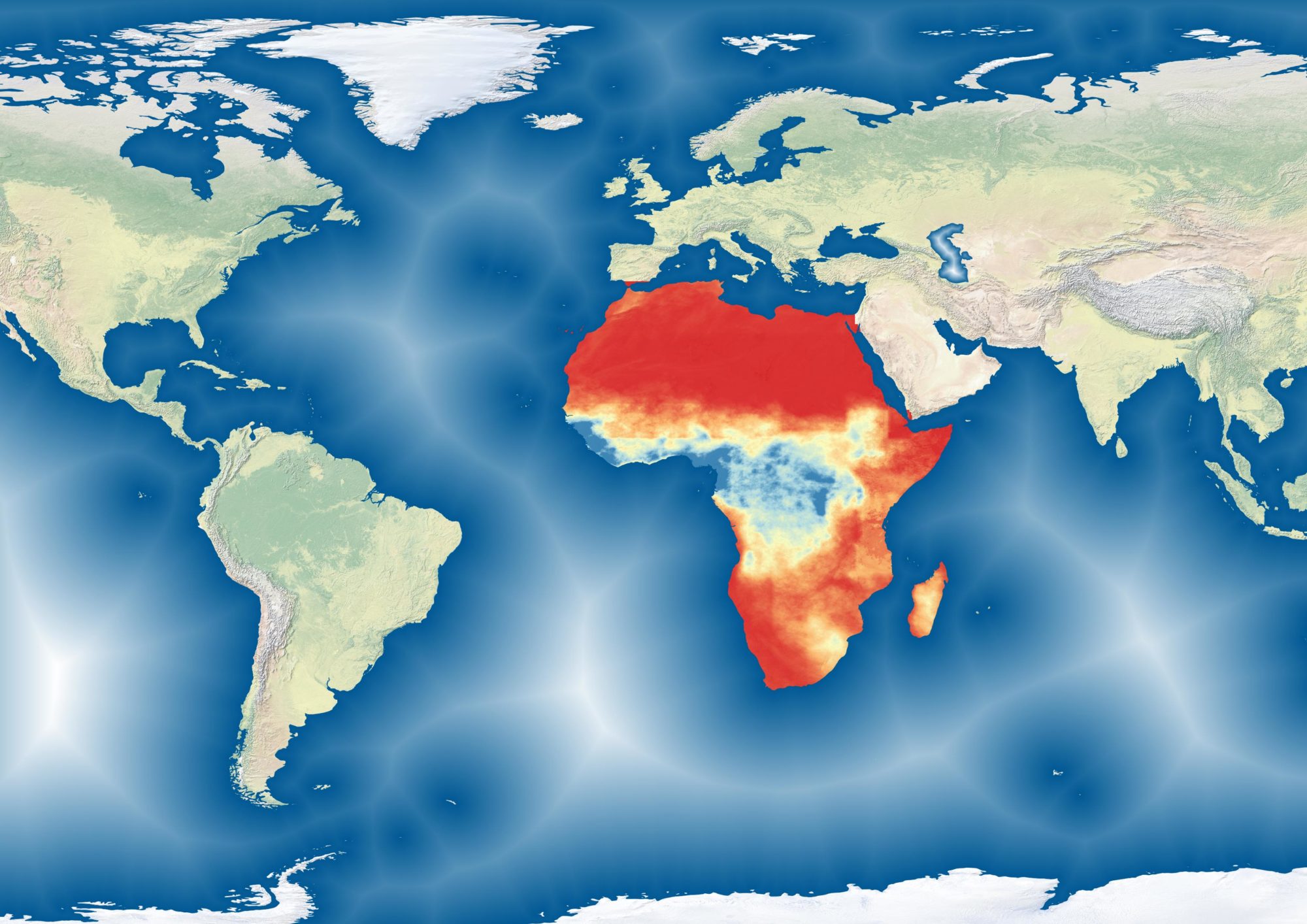
A cartographic change on the work I did with Action Contre la Faim mapping biomass. This map uses contrasts to highlight the agro-pastoral zone (seen here in Purple). The map was also designed to be colourblind-friendly.
Desertification in the Sahel

These rasters show recurrent biomass deficits in West Africa between 2015 and 2019. The idea is to show areas at risk of desertification by focusing on recent years of continued degradation. Desertification as a concept has a number of different definitions, many of which are divergent. As a result, this dataset and map may not fit within a specific user’s definition of choice. The goal of this map is not to offer a new definition of desertification or to provide a new lens with which to view it. Rather, the idea is to highlight areas where biomass production is suffering from multi-year degradation.
Continue reading “Desertification in the Sahel”Desertification in Senegal

Biomass analyses (2014-2019)
From 2014-2019, I managed Action Contre la Faim’s Pastoral Early Warning System for West Africa. More information can be found on the web portal for the service: www.sigsahel.info


