
Interactive Explorer for Cropland Change
This dashboard, built from Google Earth Engine, lets users visualize 3 Period Timescan images of cropland. These images create an ...
Agricultural encroachment in protected livestock reserves in Burkina Faso
These maps are an excerpt from a study commissioned by SNV-Burkina Faso in 2022 on agricultural encroachment in two pastoral ...

Cropland changes in Abadam, Nigeria
These maps are an excerpt of a study performed earlier this year to analyse cropland changes in several areas of ...

Livelihood Zone Food Insecurity Explorer
Using data from FEWSNETs Food Security Classification Data, I put together a dashboard showing historical food security data from 2009 ...


Sahelian Livelihood Zones
The Famine Early Warning System (FEWSNET) uses the "Livelihood Zone" (LHZ) as it's primary geographic measure. These zones are divided ...

Accuracy Assessment of 3 rainfall products in Mali
In 2020, I looked at 3 publicly available rainfall datasets- IMERG, CHIRPS and ARC2 and compared their accuracy against ground ...

Rainfall Product Comparison RFE2 vs ARC2
A gentle reminder to those of you in climate/food sec and early warning that satellite rainfall products are NOT interoperable ...

Mid-season growing conditions
Mid-season growing conditions in the Sahel calculated from METEOSAT NDVI. The NDVI values are an anomaly of the current Dekad ...

Far-right expatriates
I've always been curious about how many French expats voted for Le Pen. So a while back, I mapped the ...

Cultivation in grazing reserves
Using a 3-period timescan model (developed by Boudinaud, 2019), I mapped cropland expansion within the pastoral reserve of Sideradougou. The ...

STAMP: A call center for pastoralists
One of my current projects is the "Sustainable Technology Adaptation for Malian Pastoralists" initiative. It consists of a call center ...

BlackLivesMatter: Mapping Police Violence (2020)
Client: Data2ThePeople (Volunteer Project) Dates: July 2020 Description: An interactive dashboard of police violence and disparities between black and white ...

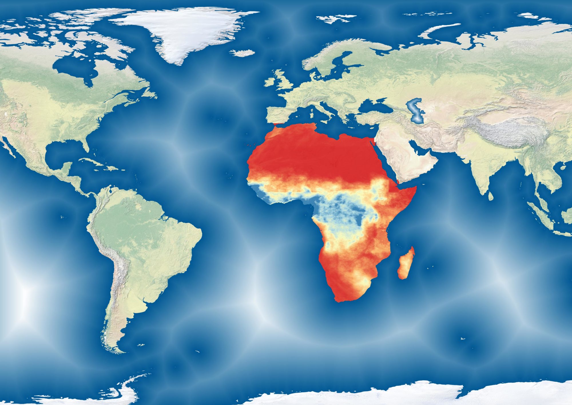
Biomass Production in West Africa
A cartographic change on the work I did with Action Contre la Faim mapping biomass. This map uses contrasts to ...

2018 US State House Election Results Dashboard
This interactive dashboard shows the results and margins of the 2018 State house races (lower legislative chamber) ...


Scale-up of the Pastoral Early Warning System (2018-2019)
Client/Employer: ACF, World Bank (Donor ...

Surface Water in Mauritania (2017)
Client/Employer: ACF During the 2017/2018 Sahelian drought, surface water in pastoral zones was acutely scarce, worsening conditions for livestock herds ...

Biomass analyses (2014-2019)
From 2014-2019, I managed Action Contre la Faim's Pastoral Early Warning System for West Africa. More information can be found ...

Rift Valley Fever Monitoring (2016)
Client/employer: ACF, 2016 In partnership with the Minsitry of Health of Niger, my team built an SMS-based monitoring service to ...