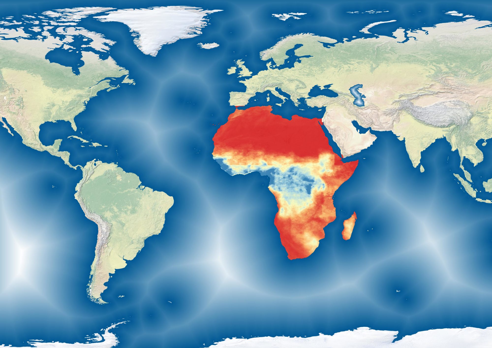
One of my current projects is the “Sustainable Technology Adaptation for Malian Pastoralists” initiative. It consists of a call center based in Bamako, Mali that fields calls from pastoralists in Gao, Tombouctou and Mopti who seek information on pasture, water and market prices. The call center is powered by an open platform that uses field data and satellite imagery to gather this data. You can actually use the platform yourself.
As a consultant, I work mostly on the interface, building the GIS products that go into it. I also work directly with pastoralists and other project staff to test the products, facilitate the collection of field data and provide GIS trainings as needed.

More information on the product can be found here.

