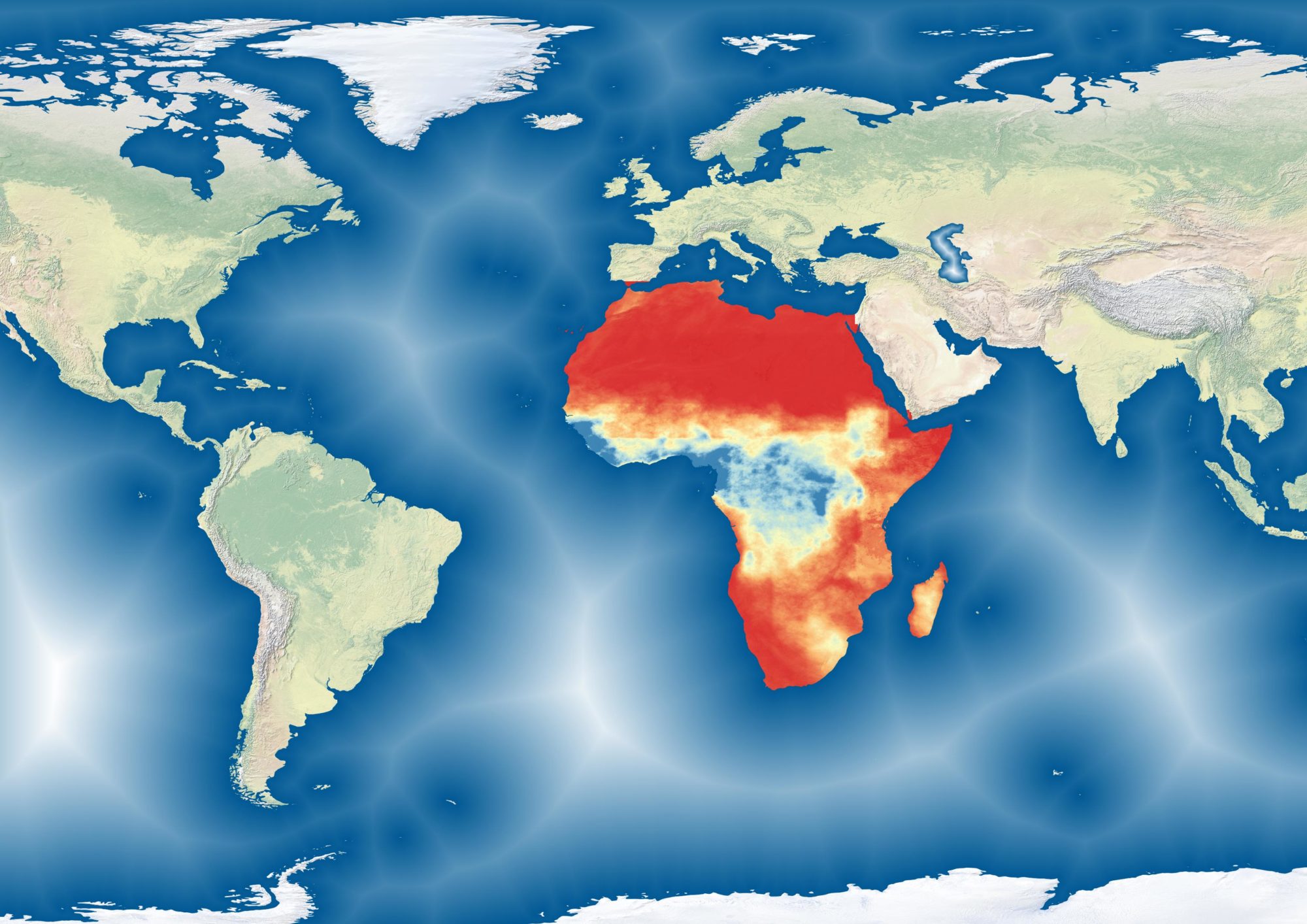


Using a 3-period timescan model (developed by Boudinaud, 2019), I mapped cropland expansion within the pastoral reserve of Sideradougou. The blue pixels represent active cropland during the 2020 growing season.
Grazing reserves in Burkina Faso are being devoured by agriculture. While these areas are typically protected by state decree and reserved for herds, the need for increased cultivation places enormous pressure on these zones. The dominant narrative of “farmer-herder” conflict in the Sahel often places the blame on mobile herders for encroaching on sedentary farmers’ fields. But it’s far more complex than that as we also see farmers moving into grazing lands.
By creating an NDVI time series during the growing season, this method isolates cropland by identifying pixels corresponding to a spectral signature common to Sahelian agriculture. This was performed using Google Earth Engine.