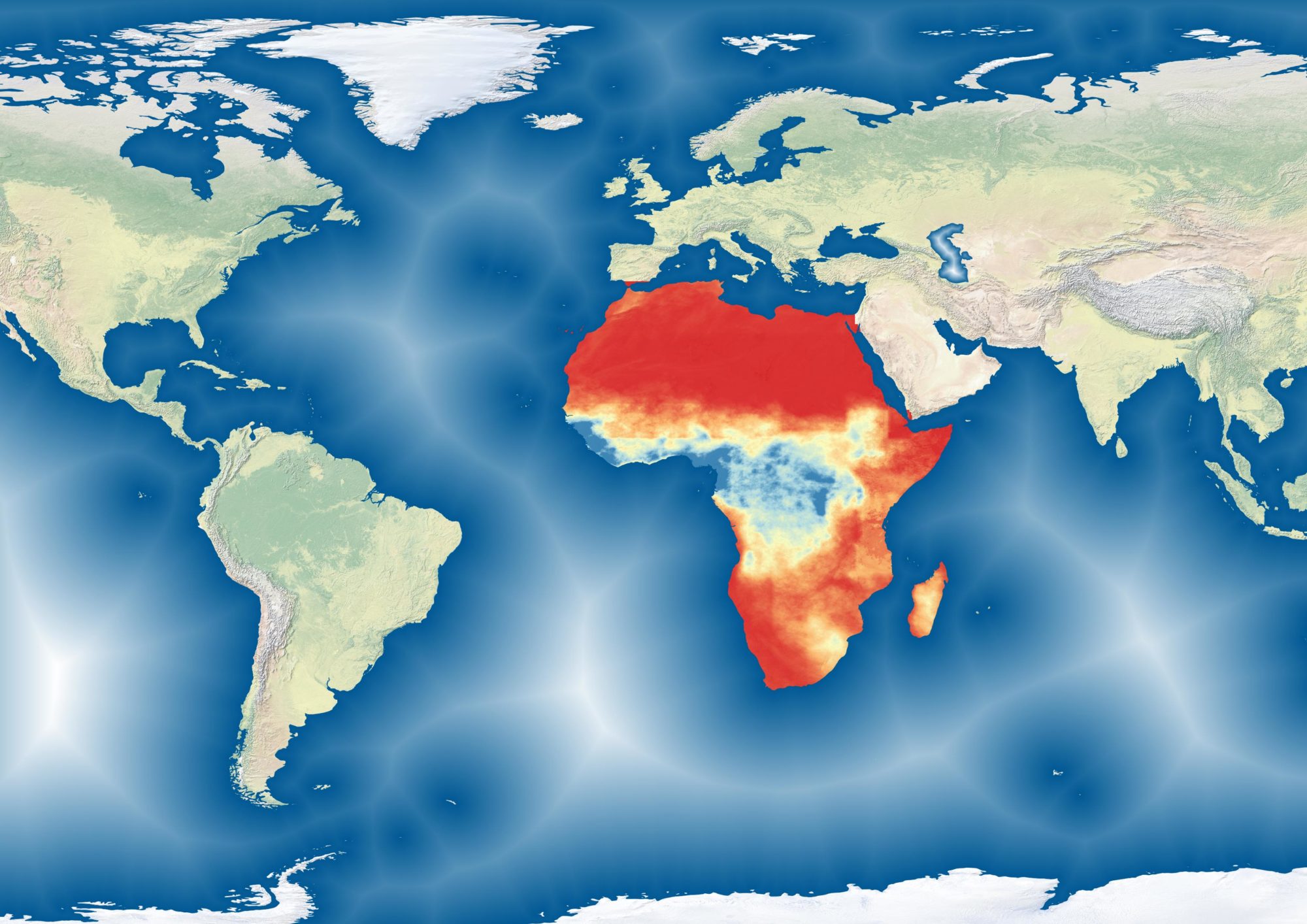
The Famine Early Warning System (FEWSNET) uses the “Livelihood Zone” (LHZ) as it’s primary geographic measure. These zones are divided based on the main livelihood source of the population. A zone might be classified as “gold mining, fishing, irrigated farming” or “transhumant livestock”. LHZ shapefiles (downloadable here) name each livelihood zone accordingly. However, often times, food security analyses in the West African Sahel require the division of zones between “Agricultural” and “Pastoral”, as these are the two dominqnt broad livelihood types. Unfortunately, the LHZ classifications do not offer this broad categorisation. As a result, I reclassified each LHZ in the Sahel accordingly. The data is available for download on this github repo. Each LHZ is reclassified as “Agricultural” , “Agricultural- Irrigated”, “Fishing, “Pastoral”, “Agropastoral” or “Other”.

